

French archives and advertising posters.
Monday 20 February 2023 at 14:00
9 rue de Provence, 75009 Paris
423 lots
-
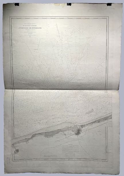
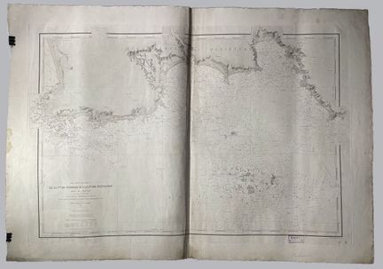
51 - (HAUTS DE FRANCE - 59 - DUNKERQUE) - Service Hydrographique de la Marine - [ FRANCE - Atterrages de Dunkerque ], Paris, 1900. Map of the Dunkirk Landings, plate 3916 of the collection of nautical charts of the Service Hydrographique de la Marine, from the first plan published in 1879. Engraved by Legros (910m x 650mm) - Condition A-. Various soiling and dusting.
Estimate €100 - €200 -
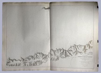
52 - (BRITTANY - 36 - DOUARNENEZ) - Service Hydrographique de la Marine - [ FRANCE - Entrée de la Baie de Douarnenez ], Paris, 1902. Map of the entrance to the Bay of Douarnenez, plate 5269 from the collection of nautical charts of the Service Hydrographique de la Marine (675m x 975mm) - State A.
Estimate €100 - €200 -
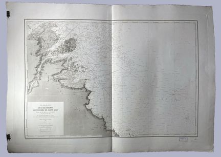
53 - (BRETAGNE - 36 - ILES BREHAT) - Service Hydrographique de la Marine - [ FRANCE - De l'Isle Bréhat aux Roches de Saint Quay ], Paris, 1904. Map from Isle Bréhat to Roches de Saint Quay, part of the Bay of Saint Brieuc, plate 832 of the collection of nautical charts of the Service Hydrographique de la Marine, from the first plan published in 1830. Engraved by Michel. On Arches vellum, with watermark. Presence of "Epreuve" stamp. ( 600m x 885mm) - Condition A.
Estimate €200 - €300 -
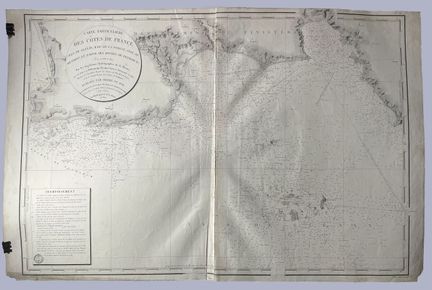
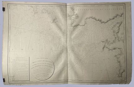
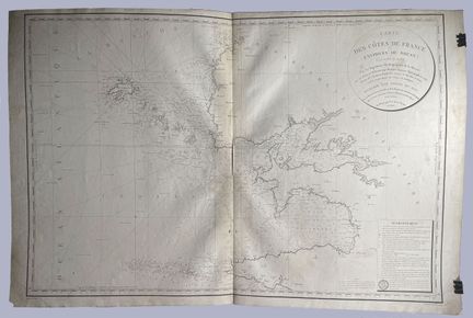
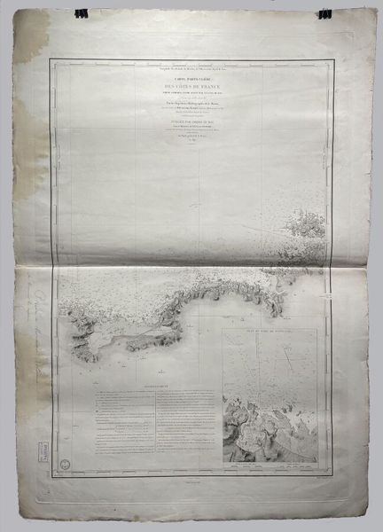
54 - Service Hydrographique de la Marine - [ FRANCE - Carte particulière des Côtes de France... ], Paris, 1824. Map of the Coasts of France, plate 125 from the collection of nautical charts of the Service Hydrographique de la Marine, from the first plan published in 1819. Engraved by Michel (590m x 880mm) - Condition A-. Dust and soiling.
Result €100Estimate €100 - €200 -
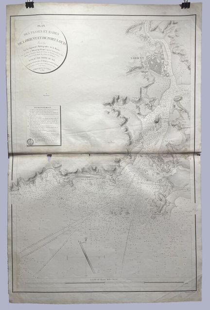
55 - (BRITTANY - 36 - LORENIT) - Service Hydrographique de la Marine - [ FRANCE - Plan des passes et rades de Lorenit et de Port-Louis ], Paris, 1824. Map of the passes and roadsteads of Lorenit and Port-Louis, plate 130 from the collection of nautical charts of the Service Hydrographique de la Marine, from the first plan published in 1819. Engraved by Blondeau (880m x 610mm) - Condition B-. Dust and soiling. Wetness and lacks at the central fold.
Estimate €100 - €200 -
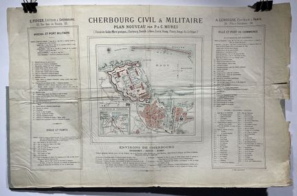
56 - (NORMANDY - 50 - CHERBOURG) - Cherbourg Civil & Military - [ FRANCE - New plan by P. & C. Murei ] - Poster of the surroundings of Cherbourg of the Information - Curiosities - Distances - E. Pioger, publisher in Cherbourg - A. Lemoigne, publisher in Paris - Lithography Hermet. - (323mm x 490mm) - Condition B - Tears in the right margin, creases, soiling.
Estimate €100 - €200 -
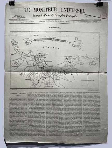
57 - (NORMANDY - 50 - CHERBOURG) - Plan and description of the plan by A. Launoy - Le Moniteur Universel - Journal officiel de l'Empire Français - Extract of July 29, 1858 - Paniconography Gillot - Engraved at Delmare, rue Saint André des Arts, 45 - (639mm x 475mm) - Condition A-.Some folds and dusting.
Estimate €100 - €200 -
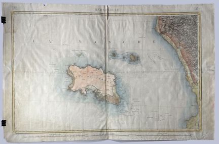
58 - (ILE DE JERSEY - BARNEVILLE) - Map of Barneville (Les Pieux) - Surveyed by the Officers of the Royal Staff Corps, and engraved at the War Depot, under the direction of Lt. General Pelet, Peer of France, and published in 1843 - Granville - Colored engraving on laid paper - (585mm x 894mm) - B condition. Folds, tears, dusting.
Estimate €150 - €200 -
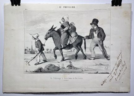
59 - (DORDOGNE - 24 - NOTRE-DAME-DE-BON-SECOURS) - [ Un Pélerinage à Notre-Dame-de-Bon-Secours (Dordogne)] - Le Postillon - N°8 - Se vendage Passage des Panoramas, à Paris - Signed in the plate - Lithography - Printed by Decan et Lebref - Handwritten note "Certifiée conforme au tirage, Paris 19 Juillet 18799(?)" and signed by Decan et Lebref - (252mm x 358mm) - Condition B. Rousseurs. Certificate of issue signed by the publisher.
Estimate €100 - €200 -
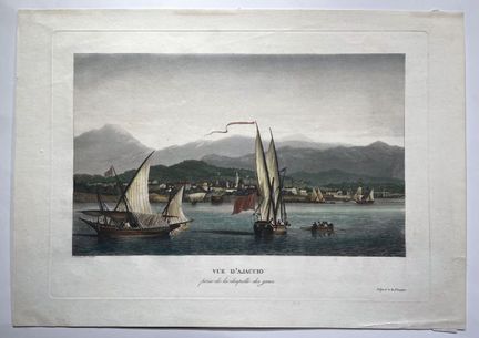
60 - (CORSICA - 20 - AJACCIO) - [ View of Ajaccio taken from the Chapel of the Greeks] - early XIXth century. Beautiful aquatint engraving by L. Garneray - (285mm x 403mm) - Condition A.
Result €100Estimate €100 - €200 -
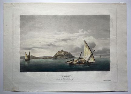
61 - (CORSICA - 20 - CALVI) - [ View of Calvi taken from the east of the bay] - early XIXth century - L. Garneray pinx. et sculp. - Deposited at the Directorate - Engraving in colors - (285mm x 403mm) - Condition A. Slight foxing.
Result €270Estimate €100 - €200 -
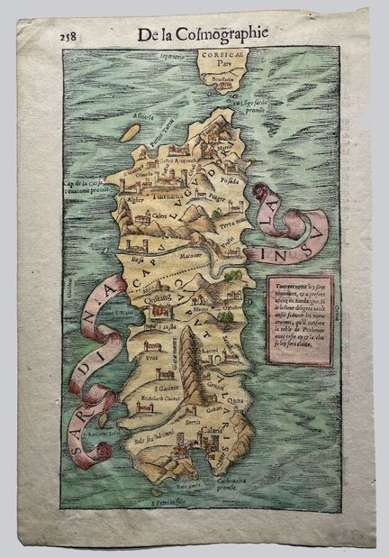
62 - (SARDINIA) - MUNSTER, S. [Sardinia Insula] Bale, ca. 1550 - Map of Sardinia from the French edition of "De la Cosmographie" by Sebastian Münster published in the 16th century - p.258 - Color engraving on laid paper (290mm x 192mm) - Condition A. Slight dusting.
Result €200Estimate €200 - €300 -
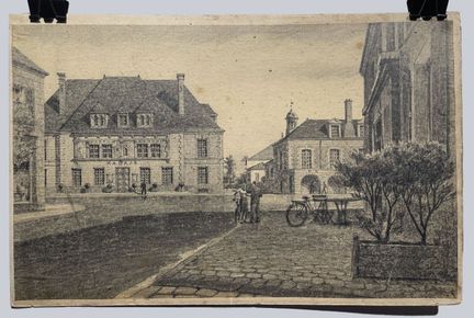
63 - (CENTRE-VAL-DE-LOIRE - 45 - SULLY-SUR-LOIRE) - [Project of reconstruction of the Saint Ythier church square] - 1941 - Pencil drawing - (213mm x 319mm) - Condition A. Some foxing. Signed in the lower right corner.
Estimate €100 - €200 -
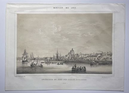
64 - (PAYS DE LA LOIRE - 85 - SABLES d'OLONNE) - D'HASTERL, A. - [ Intérieur du port des Sables d'Olonne ] - Paris, ca 1860 - Lithograph published in "Moniteur des Arts", drawn and lithographed by tienne-Adolphe d'Hastrel de Rivedoux. (197 mm x 276 mm) - Condition A-. Some foxing. An extended wetness to the subject in the right part. Signature in the lower left part, in the plate.
Estimate €90 - €120 -
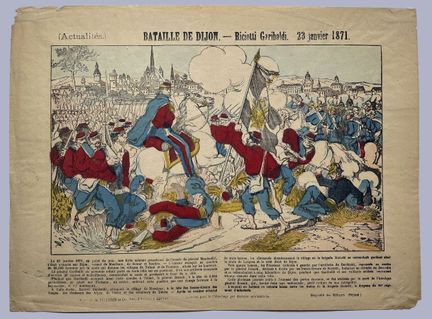
65 - (GARIBALDI- COTE D'OR - 21 - DIJON) - News : [ Battle of Dijon] - Riciotti Garibaldi, January 23, 1871 - Imagerie d'Epinal - Lithography printing Pelllerin et Cie in Epinal - (291mm x 396mm) - A Condition. Some small tears. Colored with stencil
Result €100Estimate €100 - €200 -
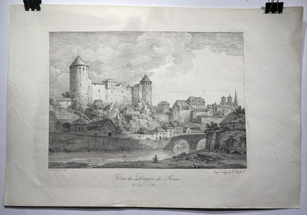
66 - (COTE D'OR - 21 - SEMUR) - [ View of the Donjon of Semur - Department of the Côte d'Or] - Bourgeois - Lithographic impression of F. Delpech - 1819 - (321mm x 464mm) - Condition B. Stains, foxing, small marginal tears.
Estimate €80 - €120 -
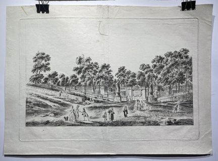
67 - (COTE D'OR - 21 - BEAUNE) - [ Entrance to the promenade of Beaune] - First state in pure etching. Before the various burin works marking the shadows and the sky and indicating the title. Proof engraved in 1785 - after a drawing by Lallemand - Engraving on laid paper - (297mm x 421mm) - Condition B. Restorations.
Estimate €100 - €200 -
68 - (BRITTANY - 29 - BREST) - Dépôt général de la Marine - [ FRANCE - Carte particulière des côtes de France... rade de Brest ], Paris, 1822. Map of the roadstead of Brest and the southern part of the Chenal du Four, plate 75, engraved by Collin. ( 600mm x 885mm) - Condition A-. Slight soiling and marginal tears.
Estimate €100 - €200 -
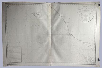
69 - (PAYS DE LA LOIRE - 85 - ILE D'YEU) - Dépôt général de la Marine - [ FRANCE - Carte particulière des côtes de France... Ile d'Yeu], Paris, 1832. Map of Yeu Island and the Pointe des Baleines, plate 150, engraved by Collin. ( 590mm x 880mm) - Condition B-. Mottling, marginal tears
Result €100Estimate €100 - €200 -
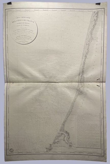
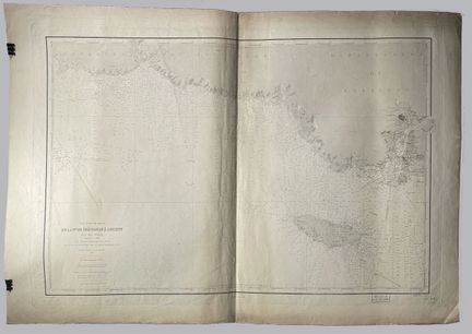
70 - (NOUVELLE AQUITAINE - 64 - BAYONNE) - Dépôt général de la Marine - [ FRANCE - Carte particulière des côtes de France... Environs de Bayonne ], Paris, 1829. Map of the surroundings of Bayonne, Cape Breton, plate 75, engraved by Michel (800mm x 590mm) - Condition B. Wetness in the central fold, wormholes.
Estimate €100 - €200 -
71 - (BRITTANY - 29 - BREST) - Dépôt général de la Marine - [ FRANCE - Carte particulière des côtes de France... Environs de Brest ], Paris, 1823. Map of the vicinity of Bayonne, Cape Breton trench, plate 104. Engraved by Collin. ( 590mm x 880mm) - Condition B. Mottling at the central fold, soiling.
Estimate €100 - €200 -
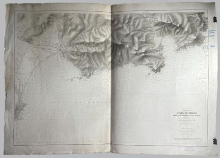
72 - (PROVENCE - ALPES - COTES D'AZUR - 83 - FREJUS) - Service Hydrographique de la Marine - [ FRANCE - Golfe de Féjus... ], Paris, 1904. Map of the Gulf of Frejus, Port of St Raphael. Rade d'Agay, plate 5140 from the collection of nautical charts of the Service Hydrographique de la Marine, from the first plan published in 1897. Engraved by Degruelle. ( 670m x 975mm) - Condition B. Dusty, blue mark in right margin and tears. Some rare foxing.
Estimate €100 - €200 -
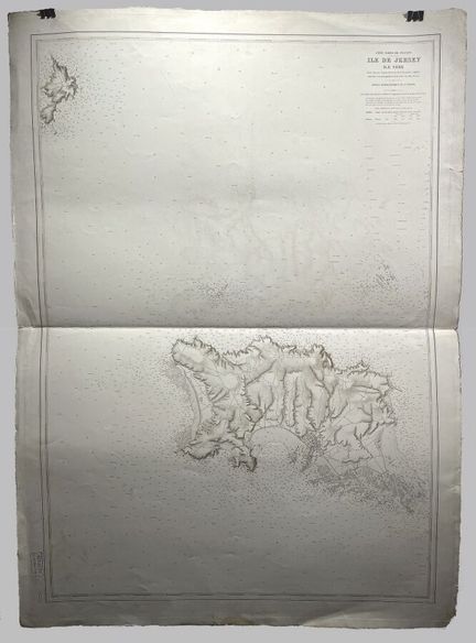
73 - (JERSEY) - Service Hydrographique de la Marine - [ BRITISH ISLANDS - Jersey Island ], Paris, 1904. Map of the Island of Jerseys and Serk Island, plate 5232 from the collection of nautical charts of the Service Hydrographique de la Marine (980m x 670mm) - Condition B. Dusty, marginal foxing
Estimate €100 - €200 -
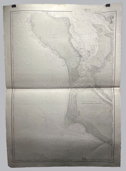
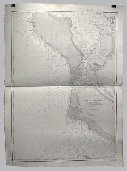
74 - (NOUVELLE AQUITAINE - 17 - ILE D'OLERON) - Service Hydrographique de la Marine - [ FRANCE - De l'Ile d'Oléron à Cordouan... ], Paris, 1905. Map of Ile d'Oléron to Cordouan, plate 164 from the collection of nautical charts of the Service Hydrographique de la Marine, from the first plan published in 1882. Engraved by Michel (1000m x 670mm) - Condition A-. Dusty.
Estimate €200 - €300 -
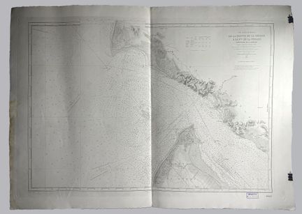
75 - (NOUVELLE AQUITAINE - 17 - LA TREMBLADE) - Service Hydrographique de la Marine - [ FRANCE - De la pointe de la Coubre à la Pointe de la Négade... ], Paris, 1904. Map from the Pointe de la Coubre to the Pointe de la Négade, mouth of the Gironde, plate 4868 of the collection of nautical charts of the Service Hydrographique de la Marine, from the first plan published in 1892. Engraved by Millian (635m x 920mm) - Condition B. Marginal dusting and wetness.
Estimate €100 - €200 -
76 - (NOUVELLE AQUITAINE - 17 - ILE D'OLERON) - Service Hydrographique de la Marine - [ FRANCE - De l'Ile d'Oléron à Cordouan... ], Paris, 1904. Map of the Island of Oleron to Cordouan Pertuis de Mamusson, plate 164 from the collection of nautical charts of the Service Hydrographique de la Marine, from the first plan published in 1882. Engraved by Michel (1000m x 670mm) - Condition A-. Dusty.
Result €200Estimate €200 - €300 -
77 - (BRITTANY - 29 - DOUARNENEZ) - Service Hydrographique de la Marine - [ FRANCE - Entrée de la Baie de Douarnenez ], Paris, 1905. Map of the entrance to the Bay of Douarnenez, plate 5269 from the collection of nautical charts of the Service Hydrographique de la Marine (675m x 975mm) - Condition A-. Dust and marginal wetness.
Estimate €100 - €200 -
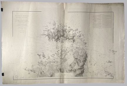
78 - (NORMANDY - 50 - CHERBOURG) - Service Hydrographique de la Marine - [ FRANCE - Rade de Cherbourg ], Paris, 1902. Map of the Rade de Cherbourg, plate 4119 from the collection of nautical charts of the Service Hydrographique de la Marine, from the first plan published in 1879. Engraved by Blondeau and Gérin. ( 620m x 910mm) - Condition B. Marginal dusting and wetness.
Estimate €100 - €200 -
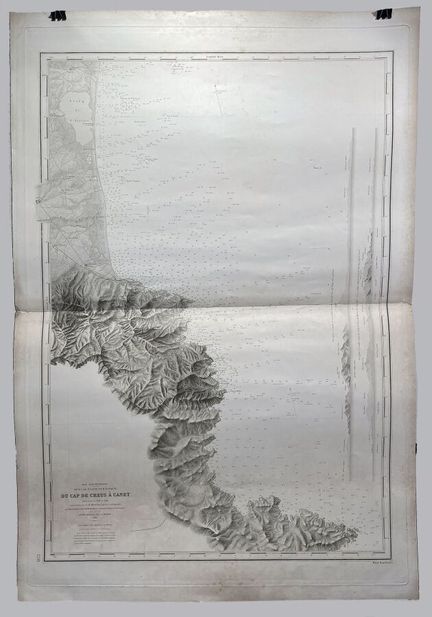
79 - (OCCITANIE - 34 - CANET) - Dépôt général de la Marine - [ FRANCE - Du Cap de Creus à Canet ], Paris, 1849. Map from Cap de Creus to Canet, plate 1218 of the "Dépôt général de la Marine" chart collection, from the first plan published in 1842 (915mm x 630mm) - Condition B. Soiling and dusting. Light foxing.
Estimate €100 - €200 -
80 - (BRITTANY - 29 - ILES DE BAS) - Dépôt général de la Marine - [ FRANCE - Plan du Canal de l'Ile de Bas et parties adjacentes ], Paris, 1887. Plan of the Canal de l'Ile de Bas and adjacent parts, plate 975 of the collection of nautical charts of the Dépôt général de la Marine, from the first plan published in 1837. Engraved by Michel (920mm x 650mm) - Condition B. Soiling and dusting. Some marginal tears.
Estimate €100 - €200 -
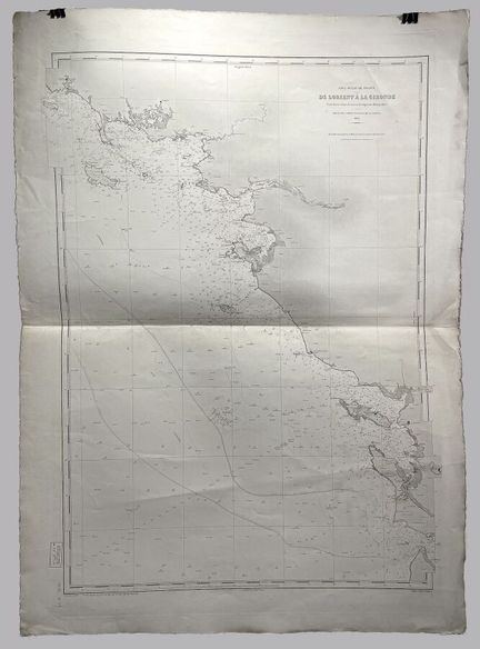
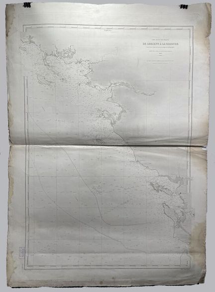
81 - (BRITTANY - 56 - LORIENT) - Dépôt des Cartes et Plans de la Marine - [ FRANCE - De Lorient à la Gironde ], Paris, 1904. Map from Lorient to the Gironde, plate 3033 from the collection of nautical charts of the Dépôt des Cartes et Plans de la Marine, from the first plan published in 1872. Engraved by Collin ( 920mm x 650mm) - Condition A- Soiling and dusting. Some marginal tears.
Estimate €100 - €200 -
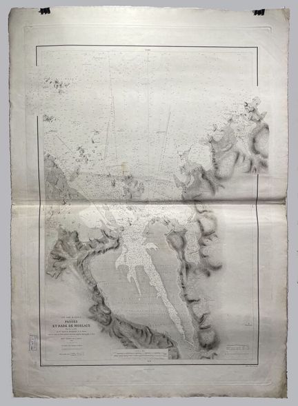
82 - (BRITTANY - 29 - MORLAIX) - Dépôt général de la Marine - [ FRANCE - Passe et Rade de Morlaix ], Paris, 1899. Map of the pass and harbor of Morlaix, plate 951 of the collection of nautical charts of the Dépôt général de la Marine, from the first plan published in 1837. Engraved by Collin ( 880mm x 660mm) - Condition A- Soiling and dusting. Some light foxing.
Estimate €100 - €200 -
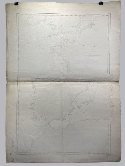
83 - (FRANCE - 13 - MARSEILLE) - Dépôt des Cartes et Plans de la Marine - [ FRANCE - Map of navigation between the North Sea and the Mediterranean... ], Paris, 1898. Map of navigation between the North Sea and the Mediterranean, from Dunkirk to Marseille, plate 2173 of the collection of nautical charts of the Dépôt des Cartes et Plans de la Marine, from the first plan published in 1865. Engraved by Jacobs ( 920mm x 635mm) - Condition A- Soiling and dusting. Some light foxing. Annotation in blue p
Estimate €100 - €200 -
84 - (BRITTANY - 29 - TREVIGNON) - Dépôt des Cartes et Plans de la Marine - [ FRANCE - De la Pte de Trévignon à Lorient - Ile de Groix ], Paris, 1898. Map of the Pte de Trévignon à Lorient - Ile de Groix, plate 129 5-19 from the collection of nautical charts of the Dépôt des Cartes et Plans de la Marine, from the first plan published in 1818. Engraved by Michel ( 600mm x 910mm) - Condition A- Soiling and dusting. Some light foxing.
Estimate €100 - €200 -
85 - (NOUVELLE AQUITAINE - 33 - GIRONDE) - Dépôt des Cartes et Plans de la Marine - [ FRANCE - De Lorient à la Gironde ], Paris, 1905. Map from Lorient to the Gironde, plate 3033 from the collection of nautical charts of the Dépôt des Cartes et Plans de la Marine, from the first plan published in 1872. Engraved by Collin (920mm x 650mm) - Condition B Soiling, dusting and foxing. Some wetness and marginal tears.
Estimate €100 - €200 -
86 - (BRITTANY - 29 - PONTUSVAL) - Dépôt des Cartes et Plans de la Marine - [ FRANCE - Carte particulière des côtes de France... ], Paris, 1900. Particular map of the coasts of France, part included between Pontusval and the Ile de Bas, plate 966 of the collection of marine maps of the Dépôt des Cartes et Plans de la Marine, from the first map published in 1837. Engraved by Michel ( 885mm x 600mm) - Condition B Soiling, dusting and foxing. Marginal stains and tears.
Estimate €100 - €200 -
87 - (BRITTANY - 29 - PERMAC'H) - Dépôt des Cartes et Plans de la Marine - [ FRANCE - De la Pte de Penmar'h à la pointe de Trévignon... ], Paris, 1899. Map from the Pte de Penmar'h to the Pointe de Trévignon, Glenan Island, plate 125 from the collection of nautical charts of the Dépôt des Cartes et Plans de la Marine, from the first plan published in 1818. Engraved by Michel ( 610mm x 925mm) - Condition B Soiling, dusting and foxing. Marginal stains.
Result €100Estimate €100 - €200 -
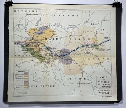
88 - (PAYS DE LA LOIRE - 38 - ANJOU/TOURAINE) - ETABLISSEMENTS NICOLAS - [ Map of the vineyards of Anjou and Touraine], Paris, ca. 1950. Map illustrating the vineyards of Anjou and Touraine drawn for Etablissements Nicolas, printed by J. Van Gindertaele. Lithograph ( 315mm x 360mm) - Condition A
Estimate €80 - €120 -
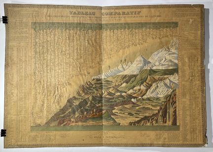
89 - (MOUNTAINS) - BULLA & FONTANA - [ Tableau Comparatif Des Principales Montagnes, Des Principaux Fleuves et Cataractes De La Terre ], Paris, 1826. Rare and decorative comparative table illustrating mountains and rivers, it includes a number of volcanoes, waterfalls and some apocryphal information. Aquatint, engraved by Roemhild (520mm x 740mm) - C condition. Numerous accidents (see photo on the back), brittle paper. Margins shortened. As is.
Estimate €100 - €200 -
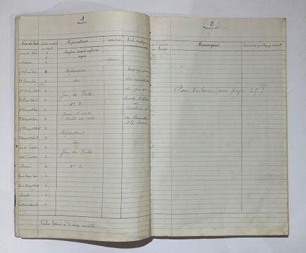
90 - (MARINE) - CORBLET & CIE - [ Three-masted Le Vercingétorix ], Paris, 1820. Manuscript register of the sailing ship Le Vercingétorix listing the provisions, the equipment taken on board, the repairs made during the expedition, the quantities remaining on arrival, for a voyage made between July 1920 and October 1921. It seems that after Nouméa and Tahiti, Vercingétorix arrived in Wellington (New Zealand) on July 17, 1921 to load wool. She was disembarked in London on December 27, 1921. Reg
Estimate €250 - €300 -
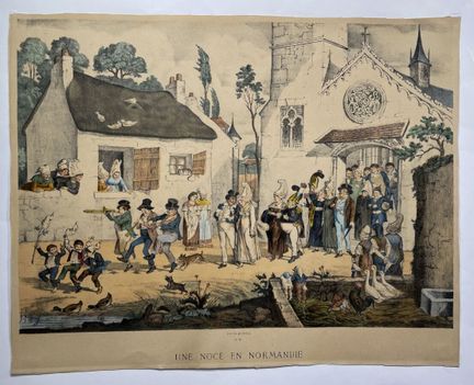
91 - (NOCES - NORMANDY) - GOSTIAUX, G. (1838-1894) - [ Une Noce En Normandie ], Paris, ca. 1870. Beautiful lithograph illustrating a wedding scene in Normandy, made by Gabriel Gostiaux. Printed by P. Frick and F. Sinnett in Paris ( 390mm x 490mm) - Condition A.
Estimate €150 - €300 -
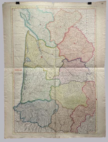
92 - (NOUVELLE AQUITAINE - 24 - PERIGORD) - DE L'ISLE, G. - [ Carte du Bourdelois, du Perigord et des Provinces voisines ], Paris, 1714. Map of Bordeaux and Perigord in two sheets attached, from the Geographical Atlas, containing Maps of the Provinces and Generalities of Orleans, Tours, Brittany, Poitiers, La Rochelle, Limoges, Bourges, Moulins, Lyonnois, Dauphiné, Provence, [...] and the Principality of Orange, Languedoc, Auvergne, Guyenne et Gascogne, and Roussillon. Volume IX. Engraving on laid p
Estimate €250 - €300 -
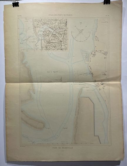
93 - (NORMANDY - 50 - REGNEVILLE) - Ministry of Public Works - [ Port de Régnéville ], Paris, 1878. Beautiful plan of the port of Régnéville, plate 34, engraved in colors for the Atlas des ports de France, published under the direction of the Ministry of Public Works. Cartographic insert in the upper left part. Made by E. Hellé and printed by Imp. Saraxin in Paris ( 565mm x 380mm) - Condition A.
Estimate €80 - €120 -
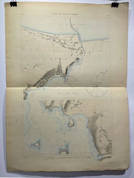
94 - (BRITTANY - 35 - CANCALE) - Ministry of Public Works - [ I. Le Vivier - II. La Houle-sous-Cancale - III. St Briac ], Paris, 1877. Beautiful plans of the Bay of Mont Saint-Michel, plate 36, lithographed in colors for the Atlas des ports de France, published under the direction of the Ministry of Public Works. Printed by Imp. Saraxin in Paris ( 600mm x 380mm) - Condition A-. Marginal soiling and tears. Missing small piece of the lower right corner.
Result €80Estimate €80 - €120 -
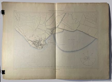
95 - (HAUTS DE FRANCE - 80 - LE CROTOY) - Ministry of Public Works - [ Le Crotoy ], Paris, 1874. Beautiful plan of Le Crotoy, located in the Bay of the Somme, plate 7, lithographed in colors for the Atlas des ports de France, published under the direction of the Ministry of Public Works. Made by Dulos and printed by Imp. Saraxin in Paris ( 405mm x 530mm) - Condition A-. Small tear at the central fold, in the subject.
Estimate €80 - €120 -
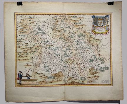
96 - (AUVERGNE - RHONE ALPES - 03 - BOURBON D'ARCHAMBAULT) - BLAEU, Willem - [ Borbonium Ducatus Bourbonnois ], Amsterdam, 1645. Map of Bourbonnais with the cities of Moulins and Bourbon-l'Archambault in its center. Adorned with a title cartouche with the coat of arms of the house of Bourbon and a figurative scale cartouche. ( 380mm x 490 mm.) - Condition A. Slight peripheral yellowing. In color.
Estimate €150 - €200 -
97 - Lot withdrawn
-
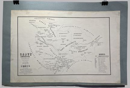
98 - (GRAND EST - 10 - TROYES) - D'ARBOIS DE JUBAINVILLE, H. - [ Comparative map ... Troyes], Troyes, 1853. Map of the religious buildings, Archdioceses, Deaneries and Pagi of the Diocese of Troyes. Lithographed by Paupe-Clausel in Troyes. ( 265mm x 425 mm.) - Condition A-. Marginal soiling.
Estimate €100 - €200 -
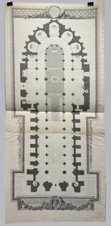
99 - (GRAND EST - 51 - REIMS) - CLOUET, F - [ Plan général de l'église de la Cathédrale de Rheims ], Paris, ca. 1720. Plan in two joined sheets of the Cathedral of Reims. One can see the labyrinth destroyed before the French Revolution. Drawn by François Clouet and engraved by Deniszard ( 950mm x 420 mm.) - Condition A. Good general condition, soiling at the joints of the two leaves.
Estimate €300 - €400 -
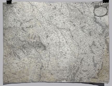
100 - (GRAND EST - 51 - REIMS) - BLAEU, Willem - [ Diocese of Rheims and the country of Rethel ], Amsterdam, ca. 1660. Map of the Champagne region, centered on Reims, from the Atlas Major of Joan Blaeu published between 1662 and 1672, after the work of his father Willem Janszoon Blaeu (1571-1638), the famous Theatrum Orbis Terrarum, first published in 1635. It shows all the place names and symbols of cities and miniatures of important cities. The main geographical features (mountains, rivers, forests
Estimate €100 - €200
About the sale
Selling expenses 28% VAT included