
Lot n° 2
Estimation :
150 - 200
EUR
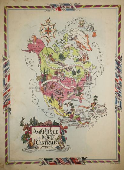
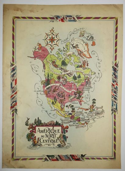
Illustrated map of NORTH and CENTRAL AMERICA,... - Lot 2 - Eric Caudron
Illustrated map of NORTH and CENTRAL AMERICA, after Jacques LIOZU (1910-1974). 1951. Printed in colors on strong wove paper, at Odé in Paris. Margins. worked mainly for the publishers Odé, Chantal de Toulouse and Gründ. Jacques Liozu is very well known for his geographical maps, but he also illustrated postcards, didactic plates for teaching and historical stories for the youth. 54 x 40,5 cm. Condition B (some stains and traces of wetness in the margins reaching the outlines of the subject).
My orders
Sale information
Sales conditions
Return to catalogue